
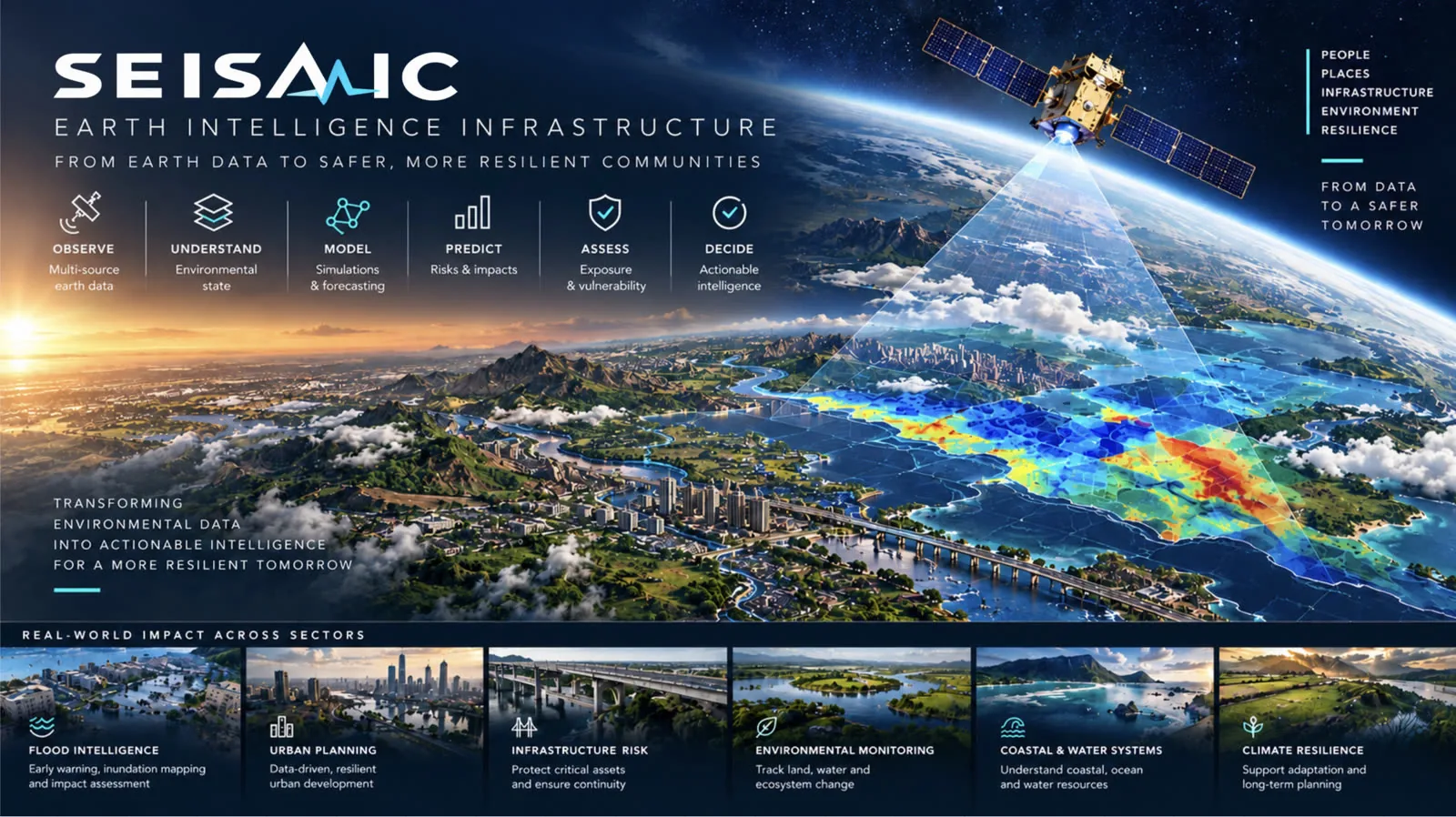
Seismic
Earth intelligence and environmental risk infrastructure
An Earth intelligence platform that turns environmental and geospatial data into predictive models, simulations, and decision intelligence for managing natural and environmental risk.
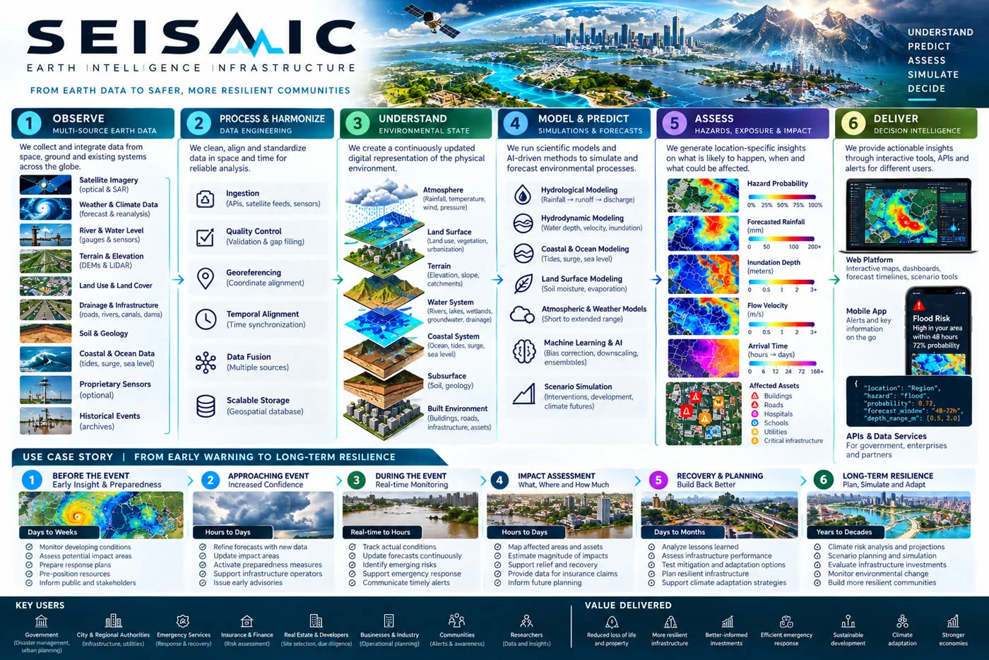
Seismic starts with flood intelligence in Nigeria, beginning with Lagos. It integrates satellite imagery and remote sensing, rainfall and meteorological data, river and water levels, elevation models, land use, soil and catchment characteristics, drainage infrastructure, historical flood events, tidal and coastal data, and building and infrastructure records.
The first build stays deliberately hardware light, working from existing datasets and open geospatial infrastructure. Proprietary sensors come later, placed where ground truth measurably improves the models rather than everywhere at once.
The point is to move past the statement that an area floods, and toward something a decision can rest on: given current and forecast conditions, this area has a quantified probability of flooding within a defined window, at an estimated depth and velocity, arriving at an estimated time, affecting these assets.
Over time the platform becomes a dynamic environmental digital twin, continuously updated, where interventions can be tested before they are built. What happens if rainfall increases. If a drainage channel is widened. If a wetland is developed. If a new road goes in. Which areas become exposed under which climate scenario.
From that foundation it extends into drought, groundwater and erosion, into heat and long term climate exposure, into ground instability, landslides and subsidence, and into the exposure of roads, bridges, ports, airports, utilities, and critical facilities.
Modelling layer
- Hydrological and hydrodynamic modelling
- Rainfall to runoff, inundation, depth and velocity
- Flood arrival time and probabilistic forecasting
- Terrain, watershed, and spatiotemporal analysis
- Remote sensing change detection
- Infrastructure exposure and environmental risk
- Scenario and intervention simulation
What it produces
- Dynamic flood risk and probability maps
- Depth, velocity, and arrival time predictions
- Rainfall and river level forecasts
- Drainage stress and historical hazard analysis
- Infrastructure and development site risk assessments
- Scenario simulations and environmental risk scores
- Automated alerts, plus data and prediction APIs
Observe → Understand → Model → Predict → Assess → Simulate → Decide
Build the next one.
Teams form from the Academy. Finish the course, take a capstone into the Startup Lab, and keep building.