Starting soon
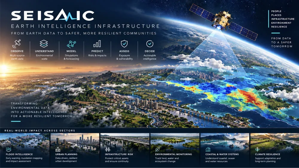
Seismic
Earth intelligence that turns satellite, ground, and sensor data into flood forecasts cities can act on, down to depth, arrival time, and the buildings in the path.
See the project →